Geodetic support
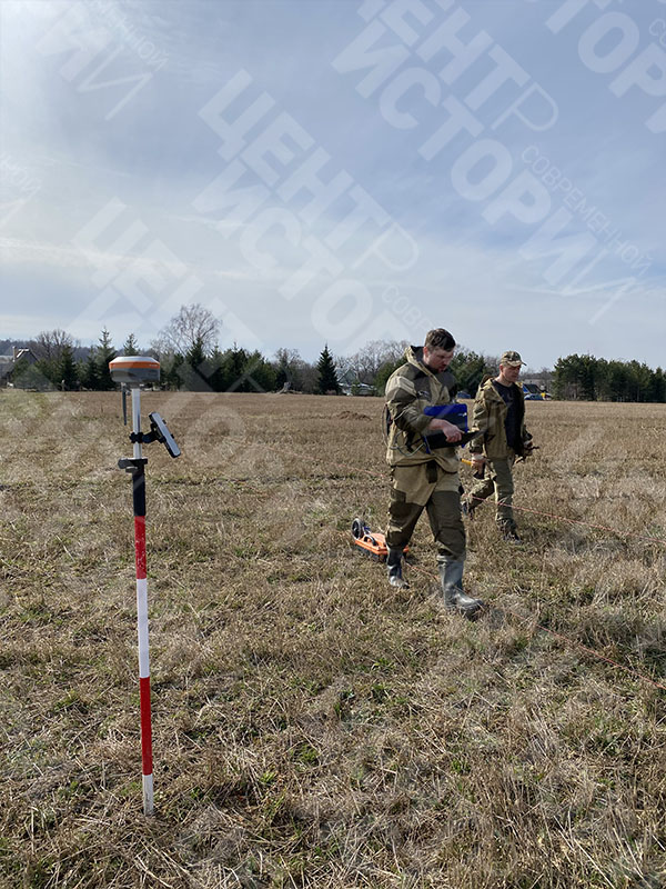
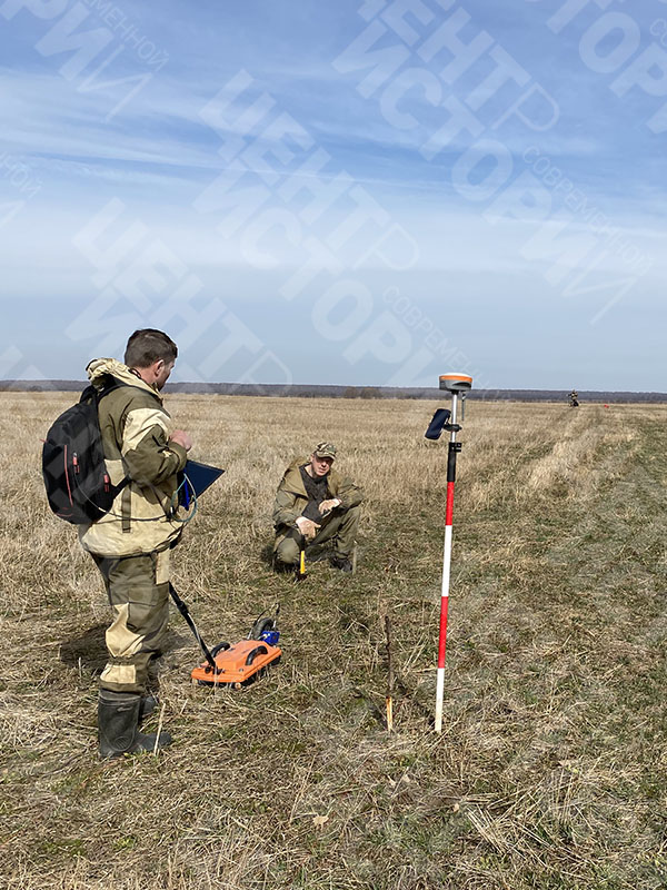
Geodetic support of archaeological surveys is the most important part of the complex of field work in modern archaeology. The recording of the places of detection of objects, the spatial position of the layers of the monument, the boundaries of the excavation and other necessary parameters is carried out by engineers of the geodesists of Center for Modern History.
Modern geodetic instruments used by our specialists allow us to fix the spatial position of objects with an accuracy of several millimeters, including for the purposes of stratigraphy. To perform geodetic works in archeology, high-precision GPS receivers, electronic total stations and laser scanners are used. The work is carried out in any coordinate systems and allows you to restore the boundaries of the object or the place of discovery of archaeological objects with high accuracy in the future.
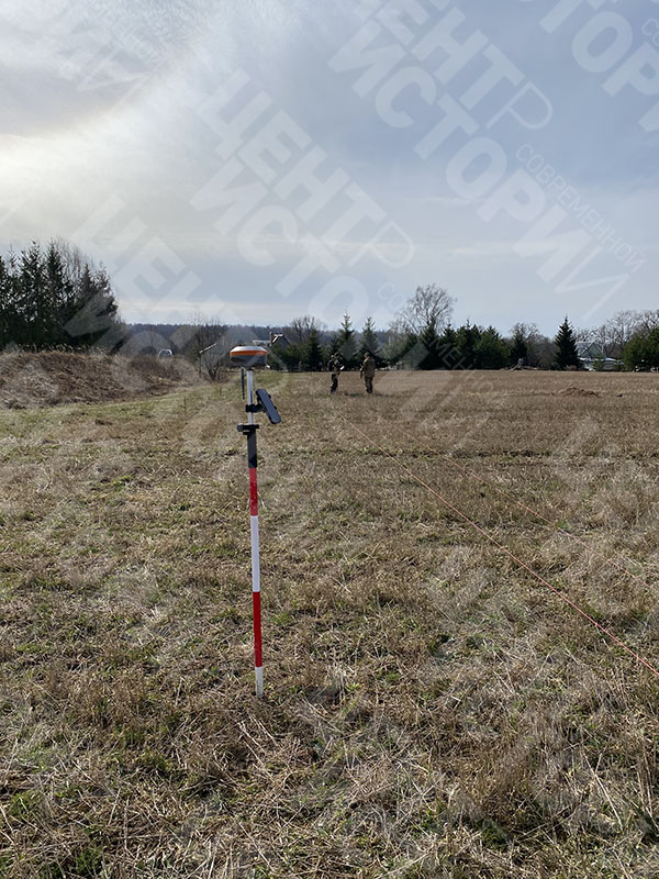

For GPS measurements, we use partner base stations that allow us to deploy filming operations in most of the territory of Russia in a period not exceeding a few minutes. The use of an extensive network of base stations allows you to achieve maximum measurement accuracy. In the case of work on an object that requires a detailed geodetic reference of all the elements of the excavation, high-precision electronic total stations and digital levels are used.
For complex archaeological sites, our specialists perform topographic surveys of large scales, including 1:50, 1:100, 1:200. Also, the specialists of Center for Modern History perform full geodetic support and conduct of archaeological work, which provides for the continuous presence of a geodesist engineer at an archaeological site and constant complete fixation of all required elements. If necessary, the “zero reference points” are laid and coordinated at the facility, the organization of base stations, the development of an existing shooting network is carried out.
The results of geodetic works are provided in the required formats established by the regulations on the procedure for conducting archaeological field work and compiling scientific reporting documentation. If necessary, the results of engineering and geodetic surveys of previous years are digitized and brought into a single format.
Projects
-
-
Unified database of number registration of the Red Army Air Forces
One of the key exploratory researches carried out by the specialists of the Center for Contemporary History is the
-
Homeland sky
The search project ” Homeland sky ” was created to perpetuate the memory of the dead and missing pilots


Контакты
АНО «НИЦ Современной Истории» – приглашает к сотрудничеству всех, кому требуется содействие в реализации проектов, связанных с историей и археологией. Мы будем рады рассмотреть новые проекты и способствовать их реализации.